Visualisations
We develop visualisations through mapping and 3D modelling to make gender, mobility and street life visible in premodern Amsterdam and Edo. Explore our results on this page and find underlying data and further visuals in UvA Figshare.
A StoryMap on the everyday mobility in Amsterdam at the beginning of the 1790s based on the merchant registers and notarial depositions.
A comparative 3D digital hypothesis illustrates the distinctive contrast in terms of street use between day and night and the flexible boundaries of the streets in Edo.
The digital reconstructions focus on the intersection of two arteries in the commoners’ district of Edo in the Bunka Era.
Movements of people in Edo were strongly influenced by their class status, and to a secondary degree by age and gender. Religious facilities were among the few hybrid areas where people of different classes could mix.
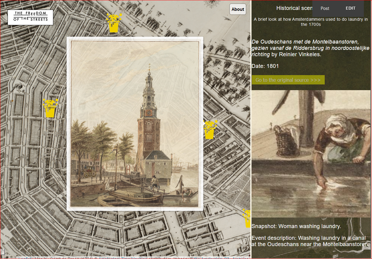
This story map, combining an interactive map, text and other multimedia content, showcases the domestic work happening in the public sphere of the streets of 18th century Amsterdam.
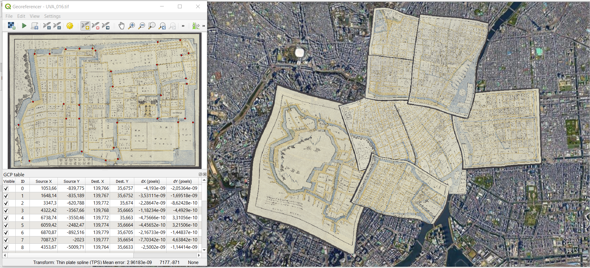
Geo-referencing historical maps of Edo (modern-day Tokyo) on top of modern cartography.
Examination of historical mobility patterns of the 18th century Amsterdam with an animated reconstruction.
Digital historical reconstruction of the streets as in the 18th century Amsterdam.
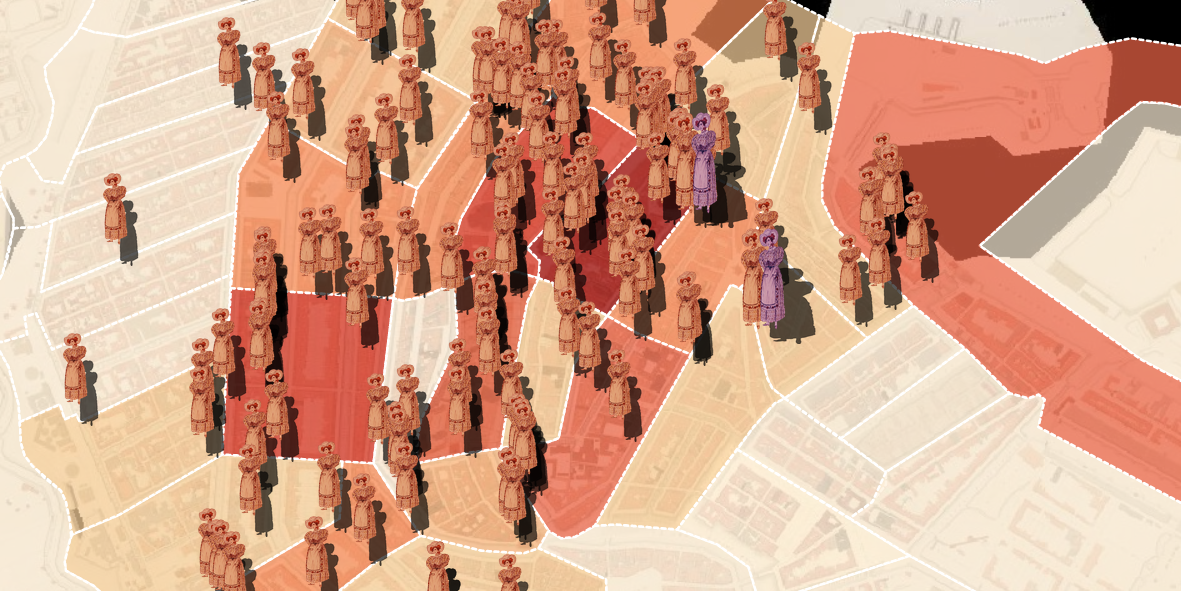
Exploration of the female presence in the commercial sphere of the 18th century Amsterdam.
Investigation of horse ownership as a symbol of prosperity and modernity in the 18th century Amsterdam.
Spatial distribution of everyday conflicts in the streets of Amsterdam as described by the witnesses in the 18th century.


